- Venue
Rivington Place
- Artists
Paul Goodwin, curator and geographer, and Alex Vasudevan, University of Nottingham, will discuss their current research projects and collaborations.
Paul Goodwin has collaborated with Monica de Miranda on Military Road, a video tracing the path of a road surrounding Lisbon. The remains of this 45km long road have now been occupied by makeshift homes built by recent immigrants. Thus, the area is considered the city’s ghetto. Historically the army used the road to protect against English and French invaders – today it still acts as a fortress against ‘invading foreigners’, keeping immigrant populations on the margins.
Developed collaboratively with local communities, Military Road is a reminder of how cities function and continue to function in their engagement with immigrant populations. The work highlights the impact of globalisation in the creation of multi- directional migrations of people, cultures and ideas. Impacting on geographic and cultural transformations in the spatial organisation of the world and the city, from a place of localities into a space of fluxus and multiple movements of people.
Military Road was part of the Underconstruction research project developed in Lisbon by Monica de Miranda and curator Paul Godwin in 2009.
Alex Vasudevan is a lecturer in Cultural and Historical Geography in the School of Geography at the University of Nottingham. He will discuss his current work on a book-length project examining the history of the squatting movement in Germany from the late 1960s to the present.
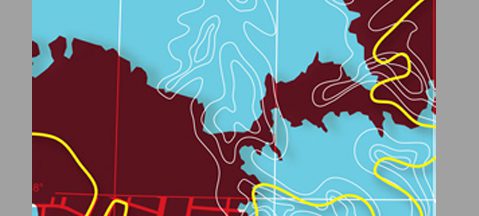
In the Whose Map is it? exhibition nine contemporary international artists question the underlying structures and hierarchies that inform traditional mapmaking. They provide individual insights that inscribe new, often omitted perspectives onto the map. From 2 June until 24 July 2010.