- Artists
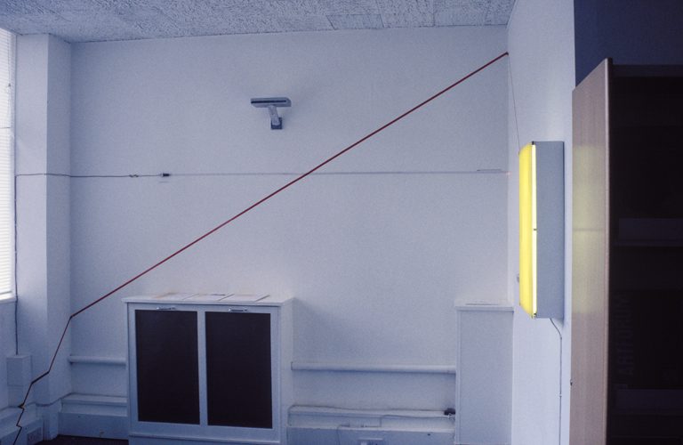
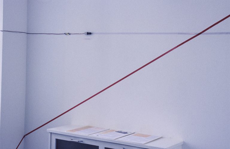
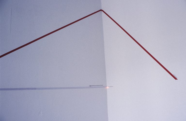
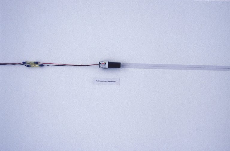
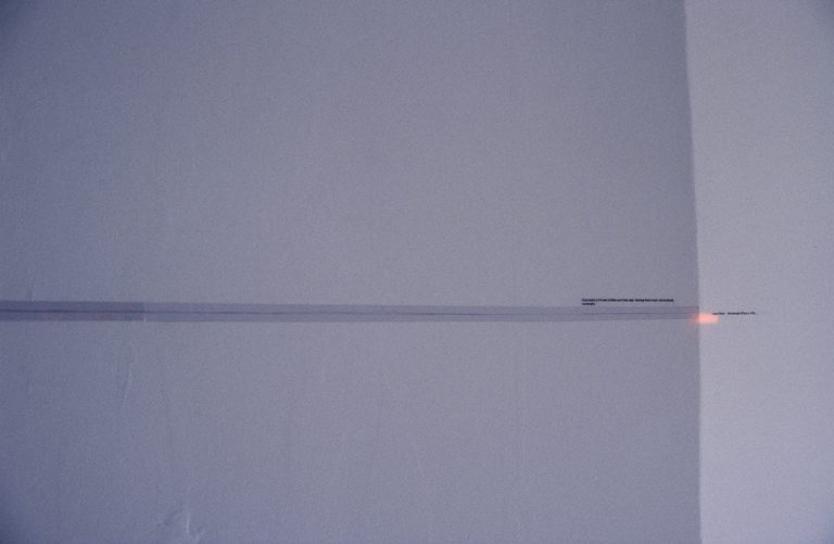
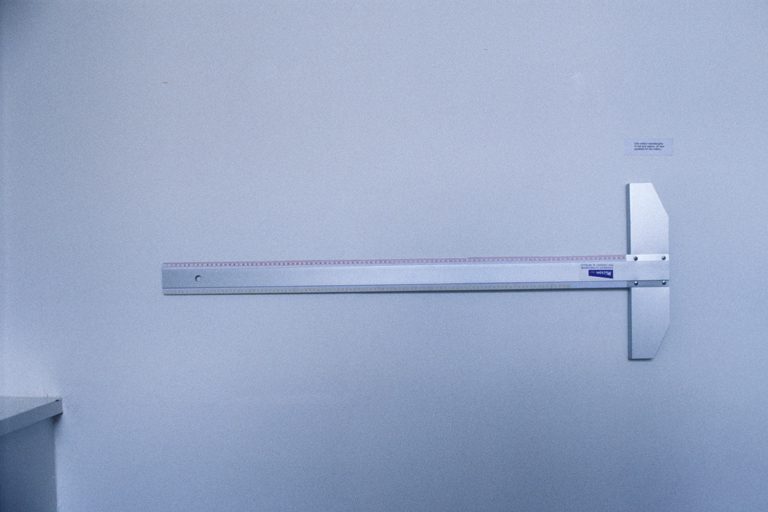
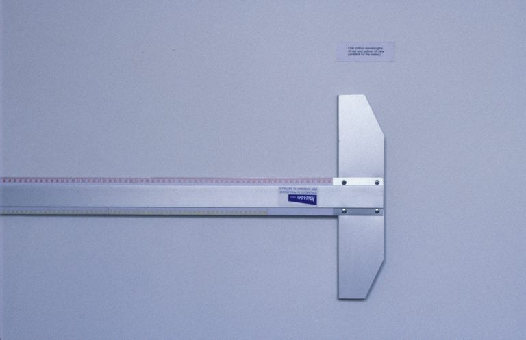
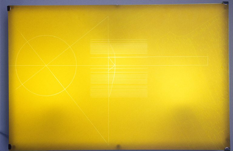
As part of the Artist-in-Research programme Indika Perera spent a period of four weeks at the Ordnance Survey in Southampton. The governmenatal agency has mapped the British Isle for over 200 years and were formerly responsible for charting other contitnents and colonies. This organisation is one of many that has defined the physical limits of man. During the time spent, Indika Perera tried to contextulise the boundaries mapped by cartographers according to more complicated explanations of space as defined by science. His images of ‘total space’ aspired to obtain a truer idea of ‘position’. The map as a measure of human endeavour, and its relative scale was one issue that he explored during his residency.
- Which Way Up? 1996
- Which Way Up? 1996
- Which Way Up? 1996
- Which Way Up? 1996
- Which Way Up? 1996
- Which Way Up? 1996
- Which Way Up? 1996
- Which Way Up? 1996
